MISSION
|
|
THE OFFICIAL BARANGAY SEAL |
Legend:
|
BRIEF HISTORY
Holy Ghost Proper, formerly known as Jose Rizal Subdivision, then Holy Ghost Hill Subdivision was established in accordance the Baguio Coordination Committee Resolutions No. 23 and 49 Series of 1966 duly adopted by the Baguio City Council on May 30, 1966 embodied under Resolution No. 109 Series of 1966 and Resolution No. 151 Series of 1967 in relation to City Ordinance No. 456 Series of 1967 and CIty Ordinance No. 386 Series of 1963 taking to consideration Commonwealth Act No. 141 and Republic Act No. 730.
The petition of Mr. Moises Maspil, President of Holy Ghost Hill Vigilant Neighborhood Association Inc. dated July 10, 1966 requesting the Baguio City Council for the re-subdivision of Holy Ghost Proper, Residence Section "B", consisting of 81 lots at approximately 250 sq.m. each to be awarded to actual occupants was granted by the City Council on the passage of City Resolution No. 109-66, which was approved by then Baguio City Mayor Norberto F. de Guzman on March 28, 1966. From the months of August December 1966, Engineer Alfonso O. de la Cruz, Deputy Public Lands Surveyor initiated the ground survey for Holy Ghost Hill. The survey covered 161 lots with a minimum area of 250 sq. m. The consolidated subdivision scheme of Holy Ghost Hill was finalized and printed on May 24, 1967. This subdivision scheme was adopted by the City Council on the passage of City Resolution No. 151-67, which was approved by then Baguio City Mayor Norberto F. de Guzman on June 29, 1967. Republic Act No. 6099, otherwise known as "Marcos-Tolentino-Cosalan Law" was approved on August 4, 1969. The Act authorizes the sale of fourteen (14) parcels of public land at Holy Ghost Proper to 292 heads of "occupants-claimants" families, who were the original petitioners who requested then Benguet Congressman Andres A. Cosalan to file a bill, enacted as R.A. 6099, at the Congress. On May 18, 1973 the Bureau of Lands and the Baguio Committee on Baguio Squatters, allegedly, indiscriminately distributed Certificate of Awards. This complaint was later embodied in civil case 2112, more popularly known as the "Maspil Case". On April 6, 1992, the Supreme Court rendered a final decision that all lots at Holy Ghost Proper Subdivision shall be sold to actual "occupants-claimants". |
HOW THE BARANGAY GOT ITS NAME: The Barangay was part of the then Holy Ghost Hill, which was coined due to presence of the Convent of the Holy Ghost Sisters on a hill sandwhiched by the present barangays; Holy Ghost-Honeymoon, Holy Ghost Extension and the Holy Ghost Proper.When Presidential Decree Nos. 82, 82A and 82B was subdivided into a number of barangays. The estate of the Convent of the Holy Ghost Sisters is now owned by the Iglesia ni Cristo and within the jurisdiction of Holy Ghost Proper.
GEOGRAPHY
Physical Description
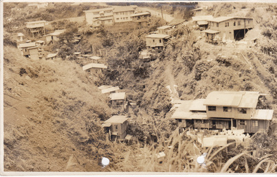
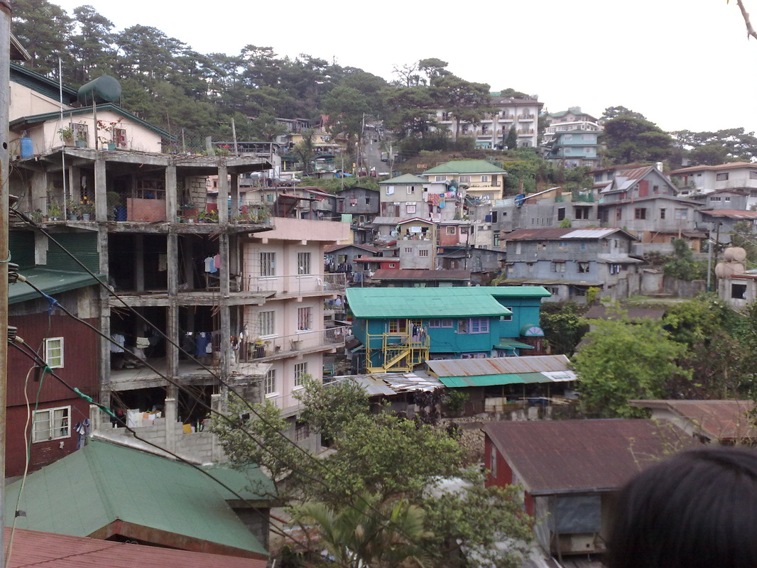
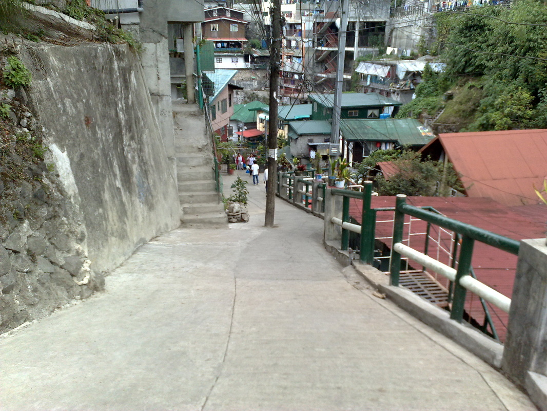
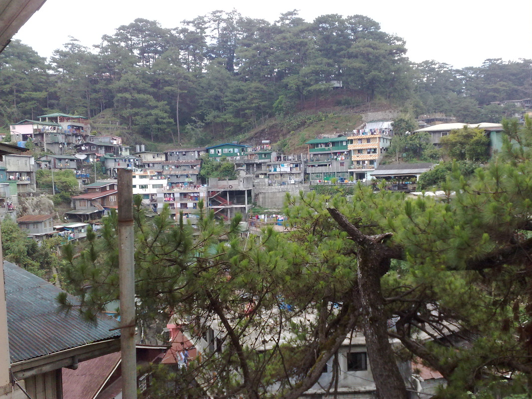
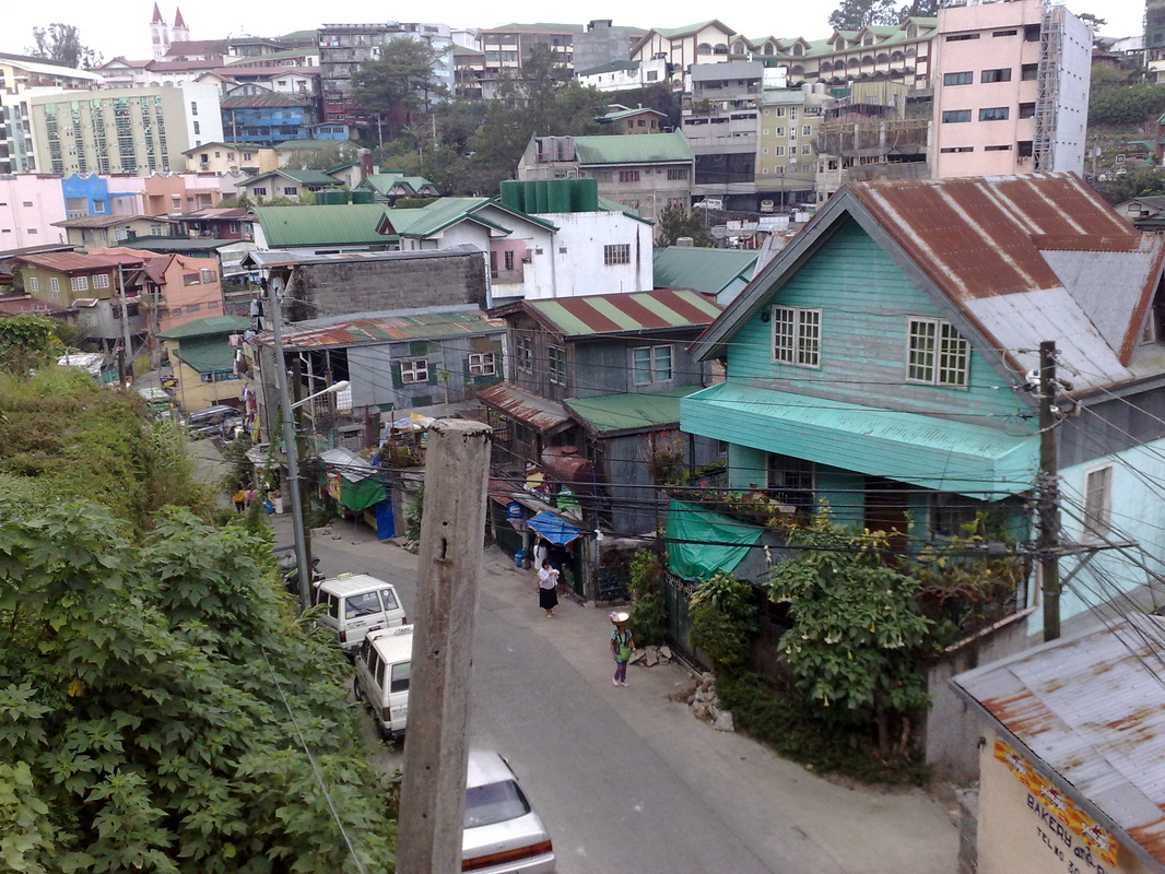
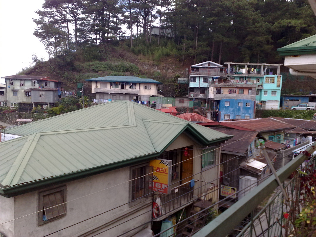
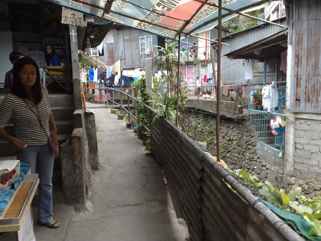
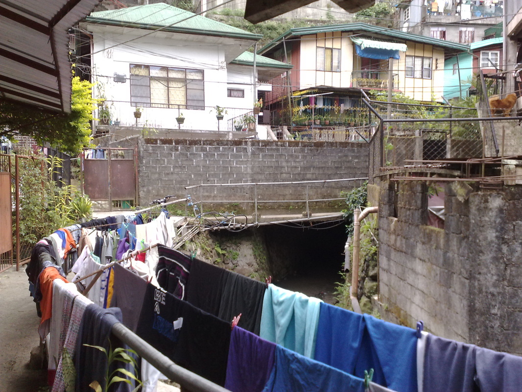
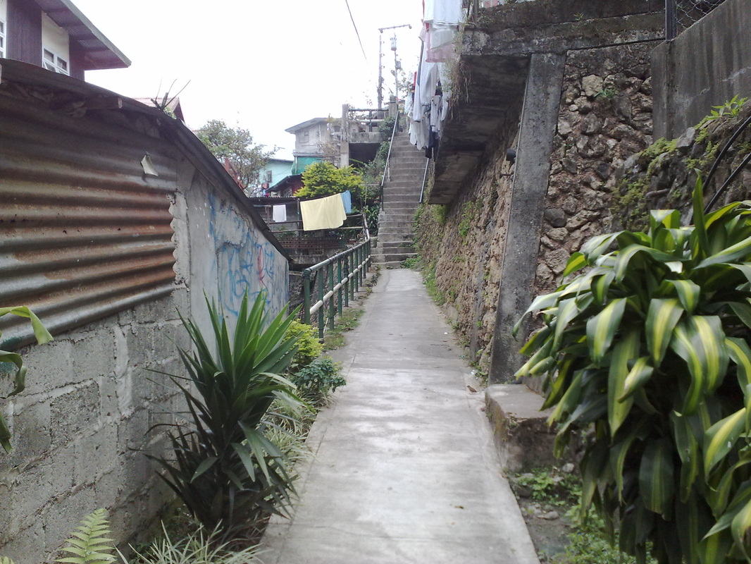
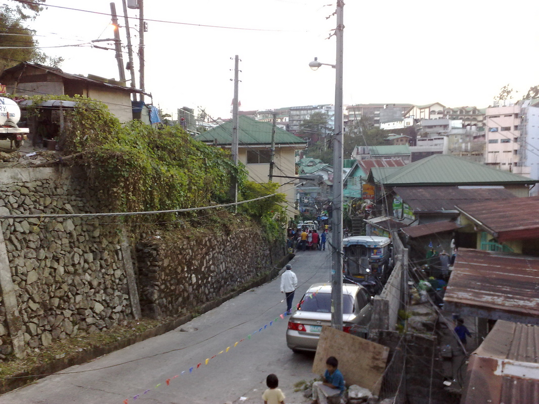
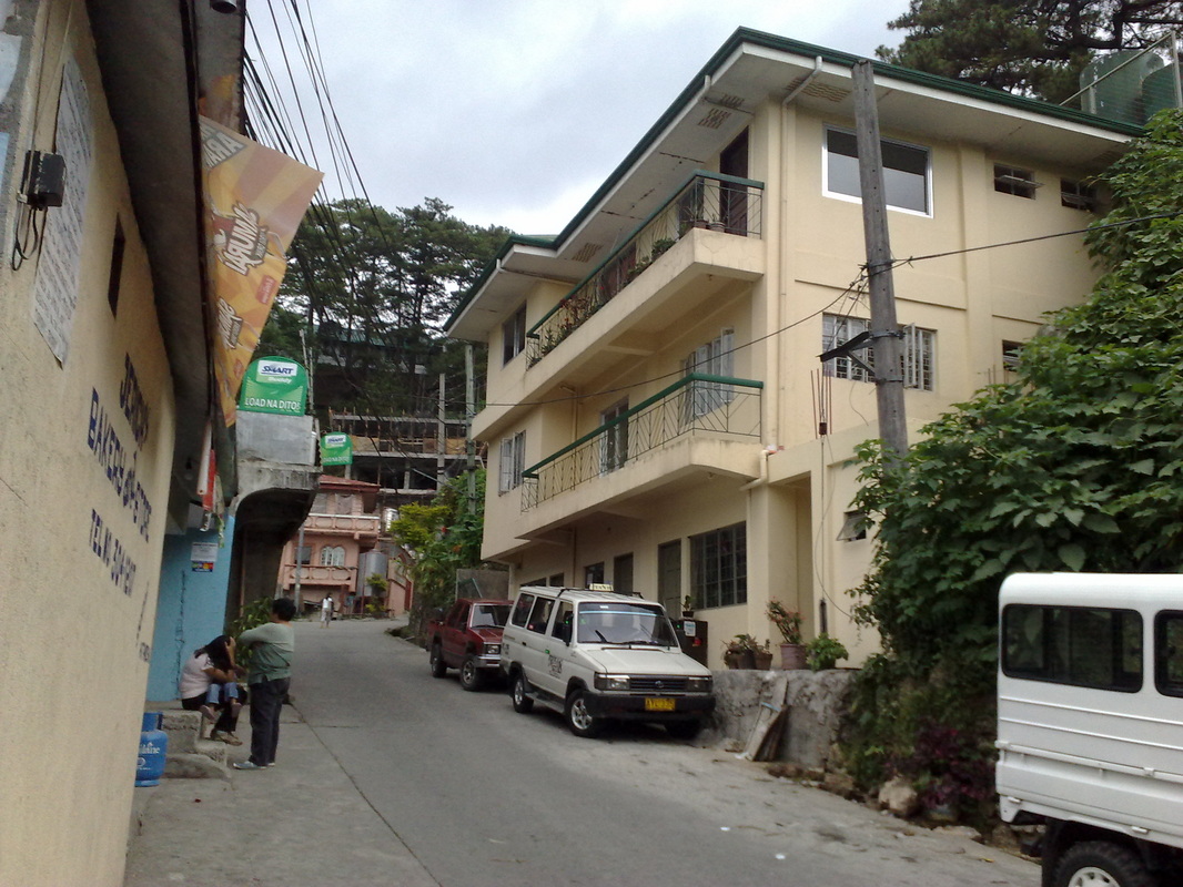
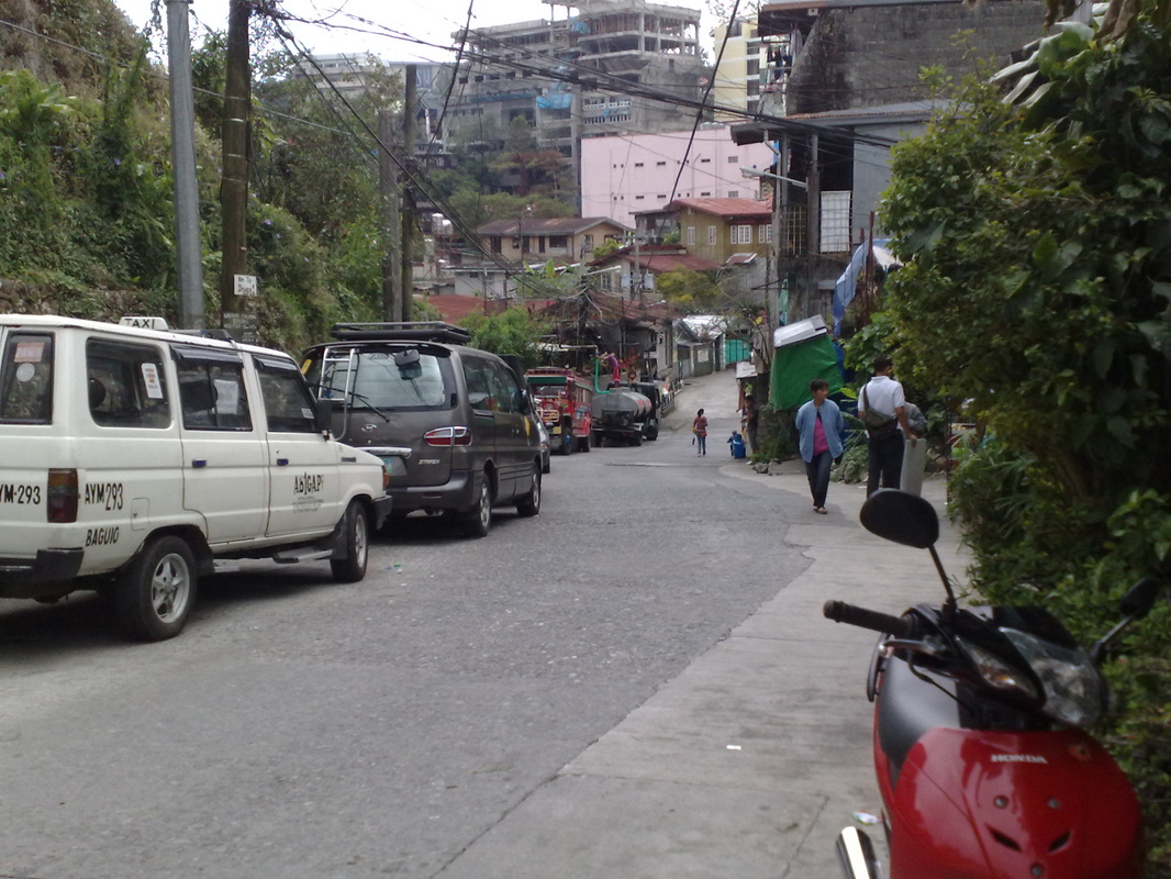
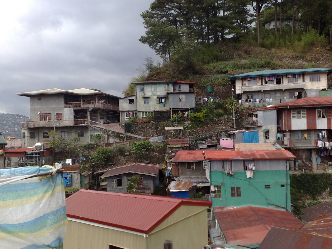
The original characteristic of Holy Ghost Proper is a rolling mountainous terrain from Upper Bonifacio St. down to the creek area. The terrain ascends to a perpendicular mountains incline to Laubach Rd. going to Sumulong St. extension or Yangco St. The mountain to or ascending to Brent Rd. where a portion to Upper General Luna Brgy, the Baguio Cathedral and its environment could be seen in perspective. In early 1960's, a mini-lake situated in the interior of Laurel St. but had disappeared due to the construction of residential houses therein. The creek area Holy Ghost Proper to the outlet of rain water and drainage emanating from Engineer's Hill. Jungle Town Rd. and Salud Mitra Brgy connecting the Honeymoon and Rimando Rd. to Trancoville district. All water and deposits herein flow to Balili River in La Trinidad. Political Subdivisions There are 7 Puroks bounded in the North by Honeymoon. In the South by Lower General Luna. In the East by Holy Ghost Extension and Imelda Village. In the West by Upper General Luna. |
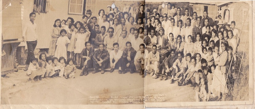
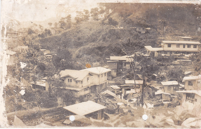
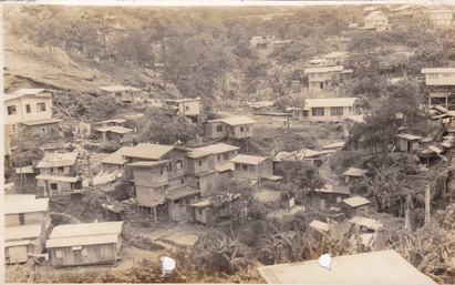
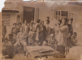
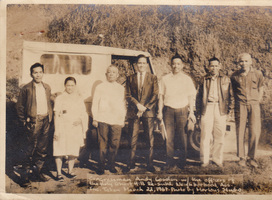
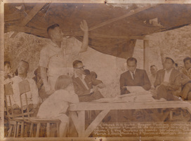
Holy Ghost Proper: A Blast From The Past...
 |
 |
 |
|
PRESENT DAY HOLY GHOST PROPER BARANGAY


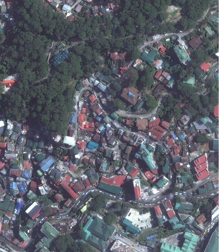
Satellite View from Google Maps edited by Rain Marcos

